
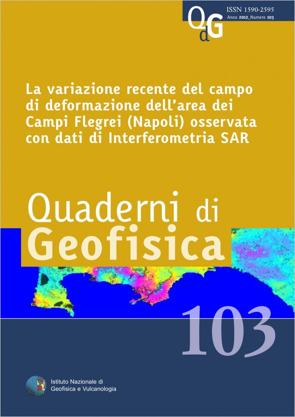
Geodetic monitoring of Campi Flegrei caldera, west of Naples, has been historically carried out through ground-based networks and integrated at the end of the nineties with space-borne InSAR techniques, exploiting the SAR sensors onboard the ERS1-2 and ENVISAT satellites from the European Space Agency (ESA).
Recently, besides the ESA satellites operating in the C-band, InSAR monitoring of Campi Flegrei area has been complemented also by high resolution SAR sensors, i.e. TerraSAR-X from the German Aerospace Center (DLR) operating in the X-band, in order to measure also small ground deformations, otherwise not detectable by C-band sensors.
Starting from April 2011, Campi Flegrei area underwent an uplift phase of more than 4 cm till now, strong enough to be detected also through...
Published: 2024-03-01