
SISMIKO: Operational tools for the management of seismic emergencies based on ArcGIS
Article Sidebar
Published:
2025-06-24
Keywords:
SISMIKO, ArcGIS, Strumenti Operativi, Gestione delle emergenze, Operational Tools, Emergency Management
Main Article Content
Abstract
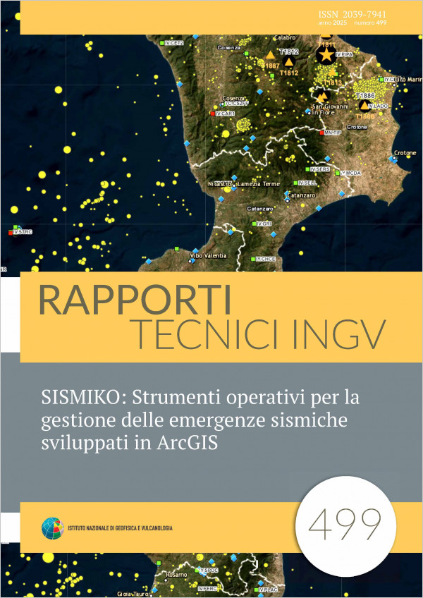
In this work, we present a suite of tools developed within the ArcGIS environment by the Piattaforma Condivisione Dati Task Group of the SISMIKO Emergency Operational Group, part of the Istituto Nazionale di Geofisica e Vulcanologia. These tools support the planning of station deployments, real-time information sharing with field teams, systematic collection of field data, and the automated production of station forms and updated reports during the seismic emergencies.
The ArcGIS Online cloud platform plays a central role in storing geographic data, enabling remote access to information, and facilitating the...
The ArcGIS Online cloud platform plays a central role in storing geographic data, enabling remote access to information, and facilitating the...
Article Details
How to Cite
Pastori, M., Falcone, S., Moschillo, R., Cavaliere, A., Nardone, L., & D'Ambrosio, M. (2025). SISMIKO: Operational tools for the management of seismic emergencies based on ArcGIS. Rapporti Tecnici INGV, 499. https://doi.org/10.13127/rpt/499