
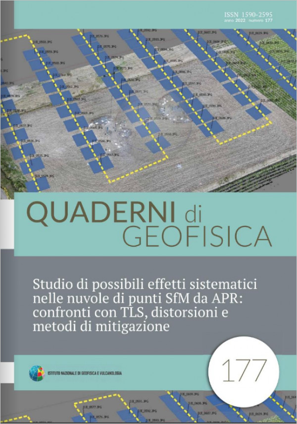
Structure from Motion (SfM) photogrammetry is based on the use of algorithms allowing the automatically identification of a large amount of homologous points (or pixels) between images overlapping areas. The coordinates of the homologous points (provided in different reference systems for each acquisition), allow the images alignment meaning the internal and external camera calibration. The number and the distribution of homologous points drives the entire procedure of photogrammetric restitution. In some cases, due to a fatal combination of acquisition strategy, digital cameras and software, anomalies could occur causing systematic effects in the point clouds representing the observed surfaces. This paper shows the results obtained from SfM surveys carried out as part of a project for the study of deformations due to the phenomenon of liquefaction by comparing multi-temporal models. This is the only case we have observed in years of SfM survey experience in which there are systematic effects preventing the direct use of the point clouds obtained using Photoscan (versions 1.1.2 and 1.7.0). Some approaches aimed at mitigating the distortions by balancing the distribution of homologous points and inhibiting the adjustment of internal camera calibration are used to improve results. A reference Terrestrial Laser Scanning (TLS) survey allowed the evaluation unexpected problems. Finally, the images data set processed by means of Metashape (1.5.0), a new improved version of Photoscan, provide good results free from systematism proving the greater efficiency of new algorithms for homologous points selection optimization. Since Photoscan is a very widespread product and also used within the INGV, it is believed that this experience can be useful to many operators involved in monitoring and studying surface deformations.
Published: 2022-04-26