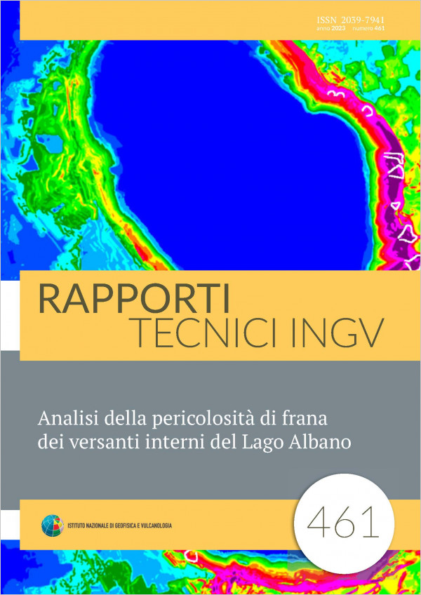
Lake Albano has a volcanic origin. It is located in the Quaternary volcanic district of the Colli Albani (Albani Hills) at approximately 20 Km from the metropolitan center of Rome. The volcanic edifice hosting the lake is characterized by gently inclined outer flanks and steep slopes in correspondence with the internal walls of the crater. Here is where much evidence is found of slope failures producing landslides.
The presence of numerous dwellings and of recreational activities along the internal slopes of the crater, and in particular along the edge and the lake coastline, make the area of potentially high risk, not only because of the inner intense slope instability, but also because of possible secondary effects due to tsunamis waves that might be generated by the impact of sliding subaerial masses on the lake surface or by sub‐aqueous landslides.
Aim of this work is evaluating landslide hazards in the study area of Lake Albano by means of techniques based on Ordinary Least Squares, OLS, and of the Empirical Likelihood Ratio, ELR, used as a modeling function.
The model proposed made it possible to analyze the spatial relationships between landslides and the themes supporting the analysis, measuring and evaluating the relationship between each specific type of landslide and each supporting digital map. The model could also benefit from the addition of new information to support the analysis such as new information levels and more detailed data that should certainly improve the results obtained.
Published: 2023-02-02

